Sue Robb of 4Children talks to Julie Laughton and Alison Britton from the Department for Education about the role of childminders in delivering the 30 hours free entitlement.
Geospatial project to support EV chargepoint rollout

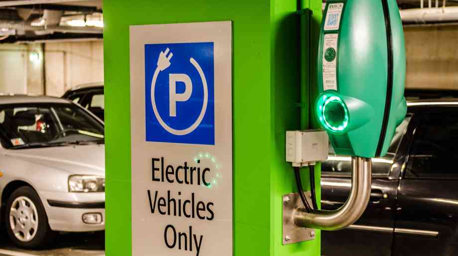
A new Geospatial Commission project will explore what electric vehicle chargepoint infrastructure data is needed by local authorities.
Coinciding with the government’s Electric Vehicle Infrastructure Strategy, published by the Department for Transport, the discovery project will explore how location data can be better utilised to support planning and delivery of electric vehicle charge points by local authorities.
The Geospatial Commission discovery project includes workshops with 10 local authorities to identify challenges and opportunities for better use of location data in the rollout of EV chargepoint infrastructure.
Ten local authorities are involved in the project: Oxfordshire County Council; City of York Council; Norfolk County Council; Greater Manchester Combined Authority; West Sussex County Council; Cornwall Council; Kent County Council; Leeds City Council; Wiltshire Council; and Cheshire East Council.
Steve Unger, Commissioner at the Geospatial Commission, said: “Location data will play a key role in planning the UK’s transition to electric vehicles and help make net zero a reality. Through this project, the Geospatial Commission will understand the challenges faced by local authorities who wish to exploit location data. By working together, we will be able to unlock the potential for data-driven innovation in transport.”
Company Focus
Located in Bromley, Japanese Knotweed Eradication Ltd has been providing solutions in the treatment and removal of Japanese Knotweed (Fallopia Japonica) for over a decade. During this time we have mastered a repertoire of methods, from herbicidal treatments to landscaping solutions, tailored to address the unique challenges our clients face with this pervasive weed.
Event Diary
UKREiiF has quickly become a must-attend in the industry calendar for Government departments and local authorities.
The multi-award-winning UK Construction Week (UKCW), is the UK’s biggest trade event for the built environment that connects the whole supply chain to be the catalyst for growth and positive change in the industry.
Supplier Profiles
Geo Energy
At GeoEnergy Design, we're on a mission to disrupt the traditional way heating and cooling ha
Latest Features
Professor Harith Alani, director of the Knowledge Management Institute at the Open University explains how AI can be used for good and bad.
Alex Lawrence, head of health & social care, techUK sets out techUK’s Five Point Plan for CareTech.


