
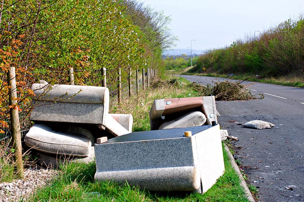
The Environment Agency has published new heat maps showing where suspected waste crime is being reported. This is helping to identify hotspots and target enforcement activity.
The heat maps show where suspected waste crime including carrying, dumping and burning, is being reported across England.
The annual reports are part of the Environment Agency’s 10-point plan to combat waste crime.
In 2025, the Environment Agency received 10,238 reports of suspected waste crime, with the West Midlands (1,542) followed by Yorkshire (1,068) receiving the largest number of public reports.
Philip Duffy, Chief Executive of the Environment Agency, said: "With more officers on the frontline and strengthened enforcement, we are disrupting criminal gangs and supporting legitimate operators. But intelligence from the public remains vital.
"If you see something suspicious – you must report it. Every piece of information helps us build the picture we need to act faster, intervene earlier and shut down criminal operations before they cause more harm to communities and the environment."
Environment Secretary Dame Angela Eagle said: "For too long waste crime has blighted our towns, cities and countryside.
"These heatmaps shine a light on the scale of the problem and how it has been left to fester. That’s why we are cracking down on the criminals behind it and giving the Environment Agency the tools it needs to go further and faster.
"Those who pollute our land, poison our waterways and line their pockets at the expense of local communities will face the full force of the law."